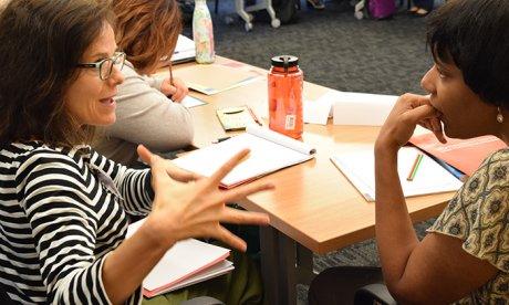
Space and Place in the Humanities: An Introduction to the GeoHumanities

Participants engage in discussion of GeoHumanities concepts at the Space, Place, and the Humanities summer institute.
Lara Rose
Participants engage in discussion of GeoHumanities concepts at the Space, Place, and the Humanities summer institute.
Lara Rose
Should you want to trace the literary pathways of London, there’s a map for that. Should you want to visualize the progress of American emancipation, there’s a map for that, too. With the rise of GPS-enabled technologies and geographic information systems (GIS), humanities scholars are turning more often to geocoded data and locative media as interactive, multidimensional tools of inquiry. Emerging from their endeavors is an interdisciplinary field known as the GeoHumanities or the spatial humanities, an aggregate of scholarly methods that apply geographic information and spatial forms of interpretation to work in the humanities.
In the summer of 2017, 25 college and university educators entered this dynamic field of study during Space and Place in the Humanities: An Introduction to the GeoHumanities, a three-week NEH Summer Institute for College and University Teachers hosted by the Humanities Center at Northeastern University and directed by Tim Cresswell of Trinity College and Elizabeth Maddock Dillon of Northeastern.
Through a combination of lectures, readings-based seminars, methodological workshops, and experiential activities in Boston, the institute introduced participants to foundational ideas about space, place, and landscape across a number of academic disciplines. Participants discussed how they might apply spatial thought to various questions and problems in the humanities, considering, for example, how geocoded data and digital technologies can help us to visualize the spatial settings referenced in literary or historical texts.
The institute included GeoHumanities experiences that extend outside the academic sphere, encouraging educators to connect with a range of cultural organizations. On a tour of Boston’s Museum of Fine Arts, participants examined evolving representations of space, place, and landscape across historical and geographical contexts. A walk along the Black Heritage Trail in Beacon Hill, encompassing over 15 antebellum sites and structures, inspired conversations about place and historical memory.
While exploring the cartographic collections at the Boston Public Library, participants also had the opportunity to engage in hands-on GeoHumanities work with the Boston Maps Project, a collaboration between the library and Northeastern’s NULab for Texts, Maps, and Networks. The project digitizes maps held by the library and integrates them into an online, interactive, annotated repository that depicts the socio-spatial transformations that have shaped Boston over the past 250 years. Through contact with this project and a connected series of workshops, educators began to integrate cartographical methods into their own research projects. By the end of the institute, participants developed a syllabus for a course or a plan for a paper or grant proposal.

Participants engage in discussion of GeoHumanities concepts at the Space, Place, and the Humanities summer institute.
Lara Rose
Participants engage in discussion of GeoHumanities concepts at the Space, Place, and the Humanities summer institute.
Lara Rose